Illustrated Directions to Nitinat Lake:
Prepared by mike blades (Michael_Blades@shaw.ca) on August 4, 2005
Take the Island highway #1 to Duncan from Victoria OR Nanaimo. Just north of Duncan, take highway #18 West to Cowichan Lake. From the turnoff it is about a 25 minute drive to the lake. When you get close to Cowichan town (2 km), the highway splits into two possible routes, one on the south side of the lake, the second on the north side. Since the road to Nitinat is at the west end of the lake, it's pretty much a toss-up. The north route, through Youbou, is shorter and my preferred route. Follow the road through Youbou until you come to a gravel road.
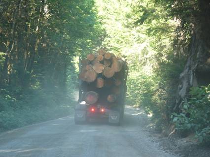
Welcome to the road to paradise. Turn on your headlights, pay attention, drive carefully, and remember that loose gravel is like ice. Watch for approaching vehicles and if someone is hound-dogging you from behind, be polite and let them pass and be on their hurried way. This road is an active logging road. You will probably meet fully loaded logging trucks. Give them lots of room to get by.
When you have reached the end of lake, about 24 km from Youbou, there is a 'T' intersection (see below). Nitinat is about 25 km from this intersection. Go straight (actually, it looks like a little to the right in this picture).
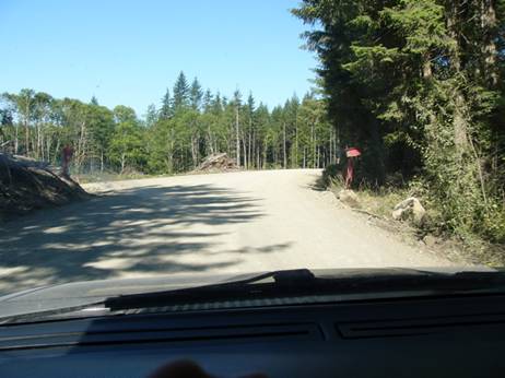
The left turn will take you along the south of the lake back to Cowichan. Continue along the road across a single lane bridge (after a few minutes driving). The road gradually swings back left until you come to another T-intersection. The left turn is blocked so you have to turn right.
Keep driving. After about 15 or 20 minutes you will come to the first of 3-one lane bridges.
BE CAREFUL on the approach to these bridges. You can't see approaching traffic and many drivers speed on this road.
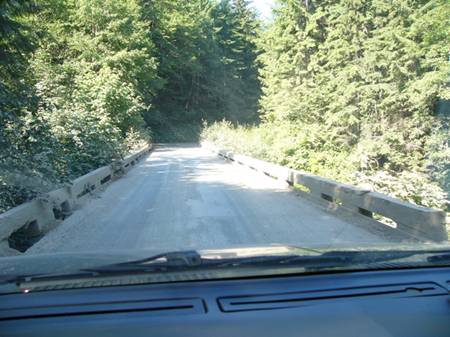
This is the approach to the Trestle bridge over Veman Creek. Slow down!
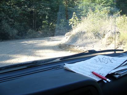
Trestle bridge over Vernon Creek.
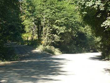
There are some places on the road where you have to make choices. See below. The road to the left is an active logging road and will not get you to Nitinat. The road to the right is, wider, in better shape, and is clearly more traveled. Look for the signs to direct you. There are some places, usually wet, that are prone to potholes. Keep and eye out for them.
After another 10 minutes or so you will come to the trestle bridge over Granite creek. Careful on this one too! If you look carefully you will see the dent in the bridge on the left where a van smacked into the side after losing control on the approach due to high speed and a wet road. When this happened, I was in about the same place that this picture was taken and thankful for the extra 2 seconds it took me to get here.
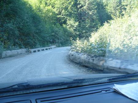
A few more minutes drive and you cross the trestle bridge over Tenas Creek. Careful again!
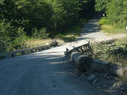
After crossing the bridge you will take the right side of the Y-junction. The left side has been closed off for several years.
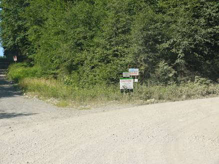
The sign at the Y-junction says
CAUTION and is good advice because you never know when you might meet logging traffic (see below) going either way and there are some sharp turns that sneak up on you on this section.
About 15 or so minutes from the Y-junction, you come to a major T-intersection. Turn left to go to Nitinat, right to go to Port Alberni or Bamfield.
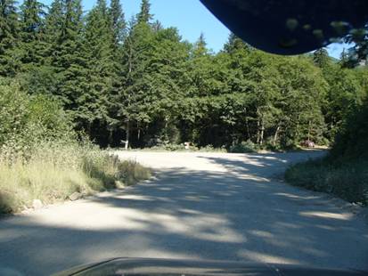
After the turn you will see a sign on the left hand side of the road (the sign is actually gone now. The posts are still there though) that says:
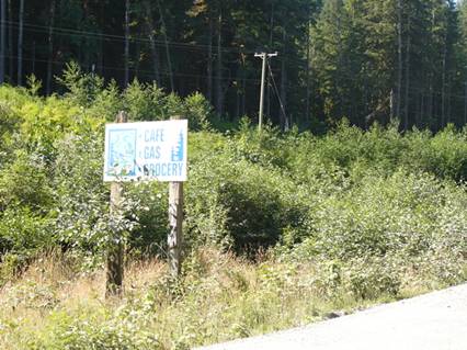
You are about 10-15 minutes from your goal.
When you come to this Y-junction, take the right branch NOT the left. There are signs that say "GAS - MOTEL" and other stuff.
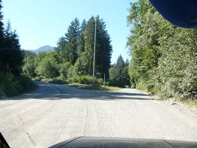
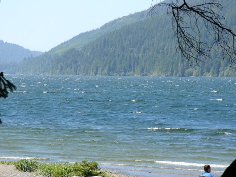
After a few minutes on this road you will get your first view of Nitinat Lake. Maybe there will be some whitecaps to get you all excited! I see signs of a fog bank at the other end of the lake. The campground is about 10 minutes away. Try not to speed.
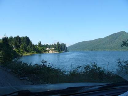
Enter Nitinat village. Go
SLOW and watch for dogs and children playing or on bicycles. SLOW! If you need a telephone, gas, food, or a nice breakfast, there is a store, the building with the green roof in the distance straight ahead.
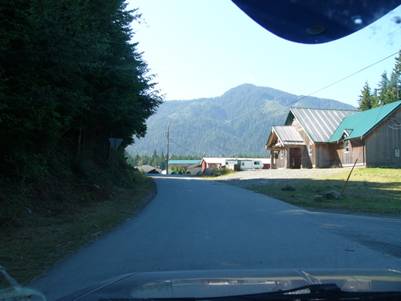
Keep to the left through the village and watch for the unmarked speed bumps, logs, rocks, etc.
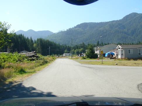
Turn right at the "Nitinat Lake Provincial Forest Recreation Site" sign.
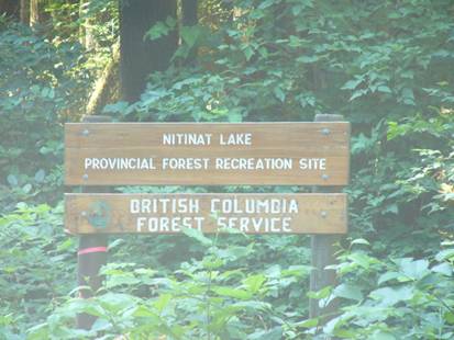
Follow the road to the water and campsites.
Check the wind, rig up and go sailing. Check with the locals for the appropriate sail size
 Notes
Notes: I have taken the road many times in my 1996 Saturn which is hardly an off-road vehicle and it still seems to work OK. The road is generally in pretty good shape although there are small protruding rocks here and there to look out for. Flat tires are common. The driving time on the non-paved portion is about 1 hour. It can be very dusty when the weather is dry so cover your bicycle and anything else you don't want dust to get into.
At the campsite: The Dididaht Band maintains the campground for the Forestry Service. There are outhouses and some sites have picnic tables and fire pits. There is a small grocery store in the Nitinat Nation Village (and a gas station). There is also a Motel with a washer and dryer and shower.


