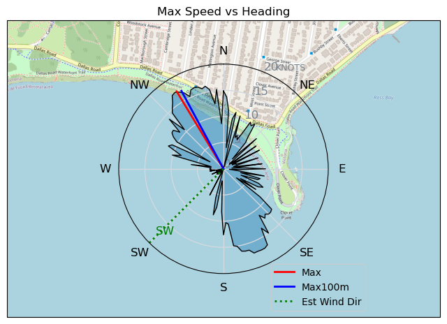
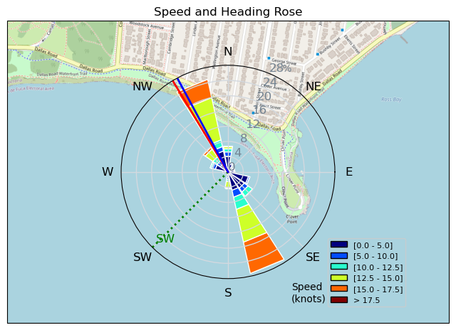
Clover Tiki April 23
davey_k - Kitesurfing |
Tuesday April 23, 2024 4:43 PM |
| Spot | Clover Pt |
| Conditions | SW 10-20, fairly flat |
| TOW | 1.0 hours |
| Toys | 52cm Ocean Rodeo Shift Bar (Gen 3) |
| 14.5 Ocean Rodeo Flite (A-Series) | |
| 230 Takoon Tiki | |
| Details | I arrived earlier than the wind and tried my big kite and big Tiki. My first attempt coincided with a lull and there was not enough power in the kite to get me going. I tried to drop into the water and do a water start in the other direction but I ended up too far underneath the kite and the lines went slack and the kite fell from the sky. The kite was having no problems staying in the air so the kite falling was my fault for getting under the kite. I self rescued and walked back and pumped the kite again. My second start was much better as the wind had come up nicely and I had a great session. I practiced many tacks and was able to make one. Certainly not dialled in but I may be starting to get the feel for it. I came in as the wind was starting to get too much for the big kite. Fantastic stuff. [from Session Log on Tuesday April 23, 2024] |
Speed (3s average)
| Speed | knots | km/h |
|---|---|---|
| Avg overall | 3.1 | 5.8 |
| Avg in motion | 8.4 | 15.6 |
| Max | 17.3 | 32.0 |
| Max 100m | 16.8 | 31.1 |
| Max 250m | 16.4 | 30.4 |
| Max 500m | 14.6 | 27.1 |
| Max 2s | 17.2 | 31.8 |
| Max 10s | 16.8 | 31.2 |
| Max Alpha (500/50m) | 14.4 | 26.7 |
| Avg Planing | 12.6 | 23.3 |
Times and Duration
| Start | Tue Apr 23, 4:43 PM |
| End | Tue Apr 23, 6:44 PM |
| Duration | 02:01:08 |
| In motion | 00:44:40 |
| Paused (< 3 km/h) | 01:16:16 |
| Planing | 00:23:38 |
| Not Planing (< 8 km/h) | 01:37:18 |
| Longest Planing Segment | 00:02:15 (962 m) |
| Last Calculated | Tue Apr 23, 10:01 PM |
Track Information
| Distance | 11.6 km |
| # Trackpoints | 2284 |
| Avg Trackpoint distance | 5.1 m |
| Number of Turns | 34 |
| Planing Turns (> 8 km/h) | 3 |
| Planing Turn Percentage | 9% |


Category: Kitesurfing
2 weeks ago

Created 2 weeks ago
davey_k |
Please register/login to download this track.
This track was downloaded 0 time(s). |
| 17 CP - Wishing for More |
| 18 Pt.Holmes 05/03 |
| 67 240501 Cordova |
| 42 CP - Lunchtime Love |
| 45 Pt.Holmes 05/01 |
Please wait while loading suggestions..
Please wait while loading suggestions..
You must login to post comments.