RB dangler
winddoctor - Wingfoil |
Sunday February 19, 2023 12:21 PM |
| Spot | Ross Bay |
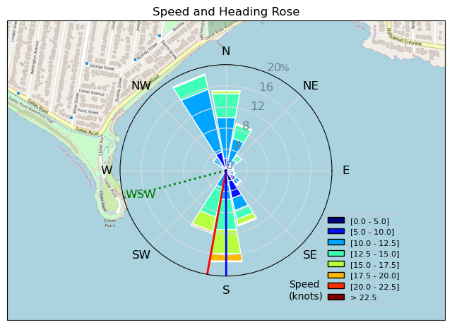
| Conditions | NW 20-28, 2-4' |
| TOW | 1.5 hours |
| Toys | 935 Armstrong Performance |
| Armstrong MA 1225 | |
| 4 KT Wing Air | |
| 5' KT Wang-Drifter 72L | |
| Details | Put straps back on the board for some jumping and mounted the V tail to see how it feels with the 1225 and new mast. Some decent jumps landed and a bunch landed back on foil felt pretty cool. The longer mast really helps flinging my 200lbs+ carcass up into the air. V tail didn't have quite enough negative shim in it so my back leg was eventually burning. Think I prefer the chopped 232 with the 1225. Felt like I did a ton of pull ups hanging on the wing; much more tired than usual due to loading, popping and jumping. Great swell later on. Pretty cruisey session. No speed runs today. [from Sailing Log on Sunday February 19, 2023] |
Speed (3s average)
| Speed | knots | km/h |
|---|---|---|
| Avg overall | 9.0 | 16.6 |
| Avg in motion | 11.5 | 21.4 |
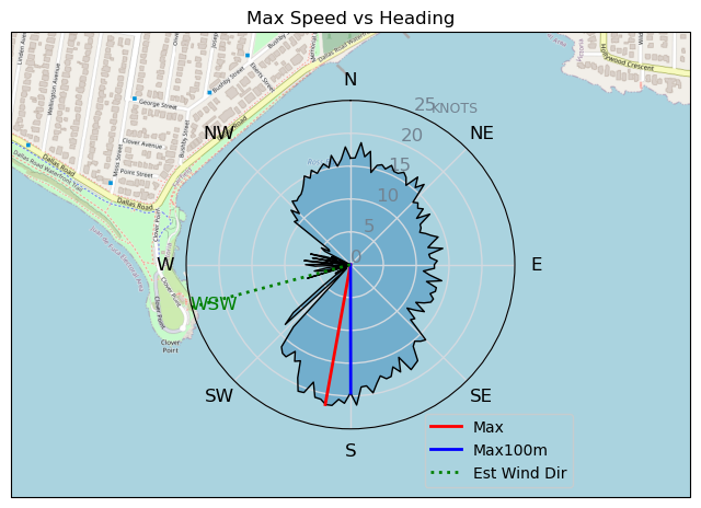
| Max | 21.6 | 40.1 |
| Max 100m | 20.3 | 37.7 |
| Max 250m | 16.4 | 30.5 |
| Max 500m | 14.7 | 27.3 |
| Max 2s | 21.6 | 40.0 |
| Max 10s | 20.3 | 37.7 |
| Max Alpha (500/50m) | 13.7 | 25.4 |
| Avg Foiling | 12.0 | 22.2 |
Times and Duration
| Start | Sun Feb 19, 12:21 PM |
| End | Sun Feb 19, 2:21 PM |
| Duration | 02:00:07 |
| In motion | 01:33:28 |
| Paused (< 3 km/h) | 00:26:28 |
| Foiling | 01:27:29 |
| Not Foiling (< 8 km/h) | 00:32:27 |
| Last Calculated | Sun Feb 19, 3:55 PM |
Track Information
| Distance | 33.3 km |
| # Trackpoints | 5507 |
| Avg Trackpoint distance | 6.0 m |
| Number of Turns | 89 |
| Foiling Turns (> 8 km/h) | 82 |
| Foiling Turn Percentage | 92% |


Category: Wingfoiling
2 years ago

Created 2 years ago
winddoctor |
Please register/login to download this track.
This track was downloaded 0 time(s). |
| 32 241124 Willows |
| 34 WillowsQuickie |
| 32 Willows - Sunday Funday Woops |
| 30 Willows Mixed Bag |
| 25 Surprise Sunday ENE. |
Please wait while loading suggestions..
Please wait while loading suggestions..
You must login to post comments.