230507 Willows
Highrocker - Wingfoiling |
Sunday May 07, 2023 6:45 PM |
| Spot | Willows Bch |
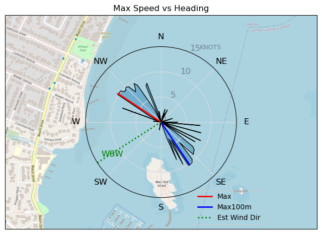
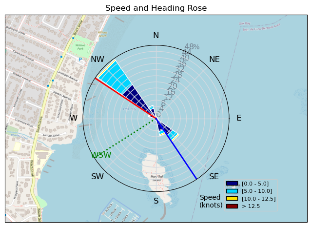
| Conditions | SW 10-14, pancake flat |
| TOW | 0.8 hours |
| Toys | 2050sqcm Axis 1020mm Carbon Front Wing |
| 750mm Axis Aluminum Mast | |
| 6.2m Cabrinha Mantis | |
| 115L JP Australia Foil Pro | |
| Details | A late afternoon erect Willows flag and a solid "maybe" from Paul's OSR was enough for me to give it a try. I checked out RB on the way to Wil and Bobson confirmed the lightness of the winds there. Willows was a definite maybe blowing light with gusts towards Cattle Point. The Cab6.2m is definitely a session saver and I got a few foiling laps out to the islets before the winds weakened. As usual, I forgot to turn my GPS on. I finally remembered while watching a couple of young seals at play. It was a short, but fantastic unexpected gift of late foiling winds with a bay all to myself! Much appreciated! [from Sailing Log on Sunday May 07, 2023] |
Speed (3s average)
| Speed | knots | km/h |
|---|---|---|
| Avg overall | 4.3 | 8.0 |
| Avg in motion | 6.8 | 12.5 |
| Max | 10.2 | 19.0 |
| Max 100m | 10.0 | 18.6 |
| Max 250m | 9.5 | 17.6 |
| Max 500m | 9.2 | 17.0 |
| Max 2s | 10.2 | 19.0 |
| Max 10s | 10.2 | 18.8 |
| Max Alpha (500/50m) | 6.6 | 12.3 |
| Avg Foiling | 8.3 | 15.4 |
Times and Duration
| Start | Sun May 07, 6:45 PM |
| End | Sun May 07, 7:18 PM |
| Duration | 00:32:59 |
| In motion | 00:20:57 |
| Paused (< 3 km/h) | 00:11:23 |
| Foiling | 00:06:18 |
| Not Foiling (< 8 km/h) | 00:26:02 |
| Last Calculated | Sun May 07, 10:23 PM |
Track Information
| Distance | 4.4 km |
| # Trackpoints | 250 |
| Avg Trackpoint distance | 17.5 m |
| Number of Turns | 3 |
| Foiling Turns (> 8 km/h) | 0 |
| Foiling Turn Percentage | 0% |


Category: Wingfoiling
2 years ago

Created 2 years ago
Highrocker |
Please register/login to download this track.
This track was downloaded 0 time(s). |
| 40 241120 Willows |
| 47 Willows Bomb Session |
| 45 Shoot the Entrance |
| 39 CloverPartDeux |
| 26 Come back soon Bombo |
Please wait while loading suggestions..
Please wait while loading suggestions..
You must login to post comments.