No Kneed
UnusuallyLargeRobin - Wingfoiling |
Sunday July 16, 2023 3:27 PM |
| Spot | Ross Bay |
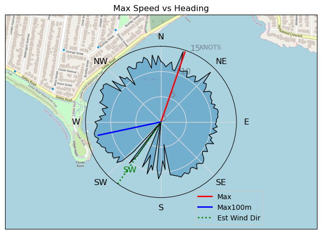
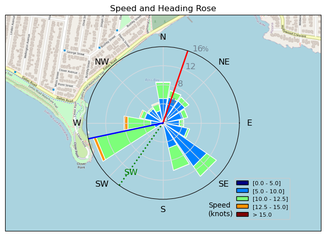
| Conditions | WSW 22-28, 2-3' |
| TOW | 1.0 hours |
| Toys | 187 lb / 85 kg Me Carbon-based Lifeform |
| 425 P Axis Rear Foil/Stab | |
| 90cm Axis Alu Mast | |
| Ultrashort (64.3cm) Axis Black Fuselage | |
| HPS 1050 (1460cm2) Axis Foil | |
| 4.0 Duotone Unit | |
| 75 lt Fanatic Sky Wing 5'0 | |
| Details | Arrived to big wind, rigged up the 4m. Debris fields everywhere, kelp islands, eelgrass, and lots of sticks and wood chunks. Especially messy near Clover. The swell just never really got organized and carried any distance. Did a few kelp splats heading into the glare (But i love all the Sun!!!) Had one major splat and entanglement that had me wishing for my mask and snorkel. In the end tweaked my front knee riding toeside (in strap) when I headed up to avoid kelp, wasn't going to make it so began to jump off only to have my front foot lag behind on deck flexing the knee joint over and inward...Ouch!!!. Home to ice and ibu's. [from Sailing Log on Sunday July 16, 2023] |
Speed (3s average)
| Speed | knots | km/h |
|---|---|---|
| Avg overall | 8.5 | 15.7 |
| Avg in motion | 9.5 | 17.5 |
| Max | 14.6 | 27.1 |
| Max 100m | 12.9 | 23.9 |
| Max 250m | 12.3 | 22.8 |
| Max 500m | 11.8 | 21.8 |
| Max 2s | 14.3 | 26.5 |
| Max 10s | 13.0 | 24.2 |
| Max Alpha (500/50m) | 10.0 | 18.6 |
| Avg Foiling | 9.6 | 17.7 |
Times and Duration
| Start | Sun Jul 16, 3:27 PM |
| End | Sun Jul 16, 4:31 PM |
| Duration | 01:04:21 |
| In motion | 00:57:33 |
| Paused (< 3 km/h) | 00:06:46 |
| Foiling | 00:55:56 |
| Not Foiling (< 8 km/h) | 00:08:23 |
| Last Calculated | Mon Jul 17, 7:44 AM |
Track Information
| Distance | 16.8 km |
| # Trackpoints | 3453 |
| Avg Trackpoint distance | 4.9 m |
| Number of Turns | 68 |
| Foiling Turns (> 8 km/h) | 62 |
| Foiling Turn Percentage | 91% |


Category: Wingfoiling
one year ago

Created one year ago
UnusuallyLargeRobin |
Please register/login to download this track.
This track was downloaded 0 time(s). |
Please wait while loading suggestions..
Please wait while loading suggestions..
You must login to post comments.