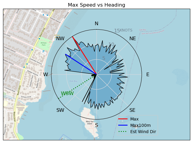
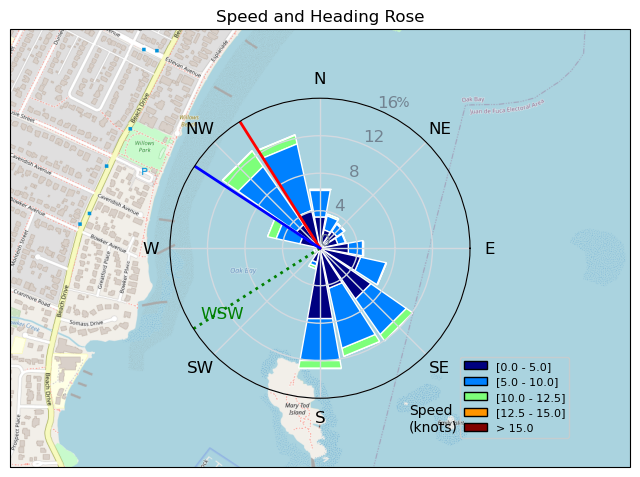
230918 Willows Beach
Highrocker - Wingfoiling |
Monday September 18, 2023 2:02 PM |
| Spot | Willows Bch |
| Conditions | SW 10-15, Mostly flat |
| TOW | 1.5 hours |
| Toys | 2050sqcm Axis 1020mm Carbon Front Wing |
| 750mm Axis Aluminum Mast | |
| 6m Cabrinha X3 Windows | |
| Details | Fantastic day at Willows capped off by foiling with T109A transient pod at the Chain Islets as I tried to avoid the many whale watching boats. GMan shared the flat water with me as he practiced gybes and I played around as I always do. 6m was a good choice for my novice skill level. I was trying out my pal Mike's 115L KT Drifter. Very nice! Cold brews in the comfy Willows lawn chairs with the GMan capped off a naturally epic day. Nearly time to put the summer weight wetsuit in the closet. Sigh..... [from Sailing Log on Monday September 18, 2023] |
Speed (3s average)
| Speed | knots | km/h |
|---|---|---|
| Avg overall | 4.4 | 8.2 |
| Avg in motion | 6.1 | 11.3 |
| Max | 14.8 | 27.5 |
| Max 100m | 12.5 | 23.1 |
| Max 250m | 10.8 | 20.0 |
| Max 500m | 9.9 | 18.3 |
| Max 2s | 14.8 | 27.5 |
| Max 10s | 13.4 | 24.9 |
| Max Alpha (500/50m) | 9.7 | 18.0 |
| Avg Foiling | 7.9 | 14.5 |
Times and Duration
| Start | Mon Sep 18, 2:02 PM |
| End | Mon Sep 18, 4:03 PM |
| Duration | 02:00:44 |
| In motion | 01:28:05 |
| Paused (< 3 km/h) | 00:28:56 |
| Foiling | 00:54:23 |
| Not Foiling (< 8 km/h) | 01:02:38 |
| Last Calculated | Tue Sep 19, 10:35 AM |
Track Information
| Distance | 16.5 km |
| # Trackpoints | 1694 |
| Avg Trackpoint distance | 9.7 m |
| Number of Turns | 51 |
| Foiling Turns (> 8 km/h) | 27 |
| Foiling Turn Percentage | 53% |


Category: Wingfoiling
one year ago

Created one year ago
Highrocker |
Please register/login to download this track.
This track was downloaded 0 time(s). |
Please wait while loading suggestions..
Please wait while loading suggestions..
You must login to post comments.