ShortNSleet
UnusuallyLargeRobin - Wingfoiling |
Monday February 26, 2024 3:21 PM |
| Spot | Ross Bay |
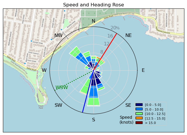
| Conditions | W 35-4, 3-5' |
| TOW | 0.8 hours |
| Toys | 187 lb / 85 kg Me Carbon-based Lifeform |
| 365/55 Skinny Axis Rear Foil/Stab | |
| Crazy Short (60.0cm) Axis Black Advanced Fuselage | |
| HPS 930 1180 cm2 Axis Foil | |
| 90cm Axis Alu Mast | |
| 4.0 Duotone Unit | |
| 3.0 Duotone Unit | |
| 75 lt Fanatic Sky Wing 5'0 | |
| Details | Arrived around 2:30 to big wind! Dave said rig the 4m you'll be great, umm no, totally wound overpowered, deja vu supersize sunday...but the swell was loverly and fun. Decided it was ridiculous so headed in to rig the 3m. Came back out and wtf? schlogging watutsi out thru the swell to the outside, still no flying, turn around catch some flight, pull a couple quick reaches and inbound hit a northerly wind shift in the face and down we go. No wind, start to swim in. Any wind comes from north and offshore. Fun well it lasted. Slightly snowing/hailing on the drive home! [from Session Log on Monday February 26, 2024] |
Speed (3s average)
| Speed | knots | km/h |
|---|---|---|
| Avg overall | 3.9 | 7.2 |
| Avg in motion | 8.0 | 14.8 |
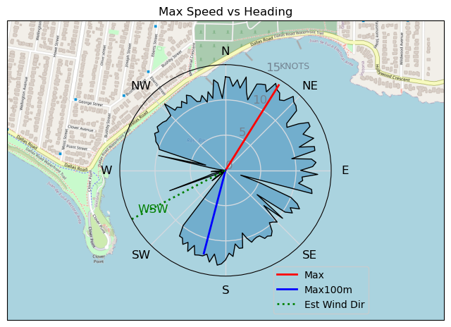
| Max | 14.3 | 26.4 |
| Max 100m | 12.6 | 23.3 |
| Max 250m | 12.1 | 22.4 |
| Max 500m | 11.4 | 21.1 |
| Max 2s | 14.2 | 26.4 |
| Max 10s | 13.1 | 24.3 |
| Max Alpha (500/50m) | 10.5 | 19.4 |
| Avg Foiling | 9.8 | 18.2 |
Times and Duration
| Start | Mon Feb 26, 3:21 PM |
| End | Mon Feb 26, 4:23 PM |
| Duration | 01:02:17 |
| In motion | 00:30:06 |
| Paused (< 3 km/h) | 00:32:09 |
| Foiling | 00:19:50 |
| Not Foiling (< 8 km/h) | 00:42:25 |
| Longest Foiling Segment | 00:10:25 (3.2 km) |
| Last Calculated | Mon Feb 26, 5:44 PM |
Track Information
| Distance | 7.4 km |
| # Trackpoints | 1996 |
| Avg Trackpoint distance | 3.7 m |
| Number of Turns | 23 |
| Foiling Turns (> 8 km/h) | 11 |
| Foiling Turn Percentage | 48% |


Category: Wingfoiling
9 months ago

Created 9 months ago
UnusuallyLargeRobin |
Please register/login to download this track.
This track was downloaded 0 time(s). |
Please wait while loading suggestions..
Please wait while loading suggestions..
You must login to post comments.