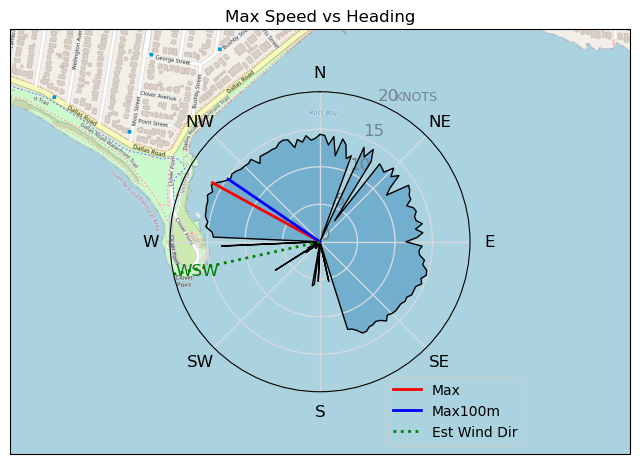
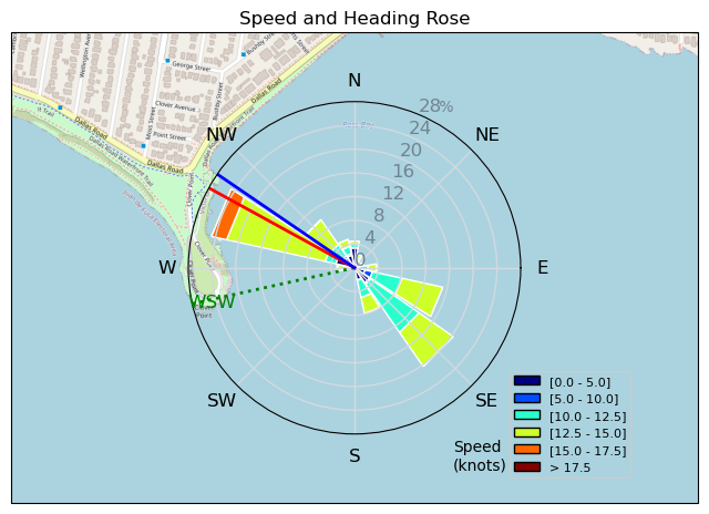
RB - Classic 2-14
rup_dogg - Wingfoiling |
Tuesday July 23, 2024 5:41 PM |
| Spot | Ross Bay |
| Conditions | W 2-14, .25m |
| TOW | 1.0 hours |
| Toys | 180 Armstrong SPEED |
| 1225 Armstrong MA | |
| 935 Armstrong HP Mast | |
| 5.0 v3 Cabrinha Mantis | |
| 106L Armstrong DW | |
| Details | Settled for the 2nd executive parking spot, Bobson on the horizon doing his thing. Classic Ross bay in that it went from - 14 to 2 to 12 and back to 2. Had a short session on larger gear. Turns out with all the other (well documented) benefits of a DW board they paddle very nicely! Back at shore The Pope and Dr Mark were prepping to head out, in the 'fast' approaching wind line. The Pope ripped out looking very confident, but then had a longish paddle in ' Ross Bay initiation? Felt bad that I was not on the beach to greet him with a Corona, but needed to get home. Good times. [from Session Log on Tuesday July 23, 2024] |
Speed (3s average)
| Speed | knots | km/h |
|---|---|---|
| Avg overall | 7.6 | 14.0 |
| Avg in motion | 10.1 | 18.8 |
| Max | 16.3 | 30.3 |
| Max 100m | 15.4 | 28.6 |
| Max 250m | 15.1 | 28.1 |
| Max 500m | 14.2 | 26.2 |
| Max 2s | 16.3 | 30.2 |
| Max 10s | 15.5 | 28.6 |
| Max Alpha (500/50m) | 13.8 | 25.6 |
| Avg Foiling | 12.5 | 23.1 |
Times and Duration
| Start | Tue Jul 23, 5:41 PM |
| End | Tue Jul 23, 6:31 PM |
| Duration | 00:50:29 |
| In motion | 00:37:47 |
| Paused (< 3 km/h) | 00:12:36 |
| Foiling | 00:27:34 |
| Not Foiling (< 8 km/h) | 00:22:49 |
| Longest Foiling Segment | 00:25:07 (9.9 km) |
| Last Calculated | Wed Jul 24, 12:01 PM |
Track Information
| Distance | 11.8 km |
| # Trackpoints | 2065 |
| Avg Trackpoint distance | 5.7 m |
| Number of Turns | 30 |
| Foiling Turns (> 8 km/h) | 25 |
| Foiling Turn Percentage | 83% |


Category: Wingfoiling
one month ago

Created one month ago
rup_dogg |
Please register/login to download this track.
This track was downloaded 0 time(s). |
Please wait while loading suggestions..
Please wait while loading suggestions..
You must login to post comments.