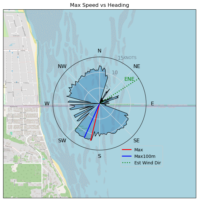
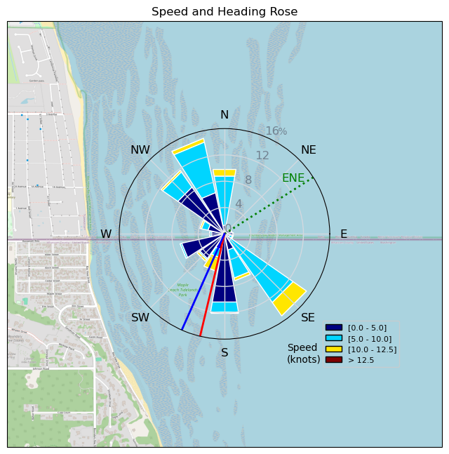
light wind Easterly.
sixlinewrasse - Wingfoiling |
Friday November 01, 2024 1:13 PM |
| Spot | [Secret spot] |
| Conditions | NE 11-14, flatish to chop |
| TOW | 1.5 hours |
| Toys | 5,4", 90 Lts. KT Hawaii Quatro Drifter Pro |
| 1250HA cm2 foil North Sonar | |
| 85cm C Mast North Sonar | |
| 75 cm C Fuse North Sonar | |
| S270 Stab North Sonar | |
| Details | New deck pad on the 90 Litre, broke out the dry suit and multiple layers of poly-pro, new play list. Around 8' C and toasty , feeling lighter than wearing the wet suit. I had to clear the foil a few times, but I think it was worth it. [from Session Log on Friday November 01, 2024] |
Speed (3s average)
| Speed | knots | km/h |
|---|---|---|
| Avg overall | 5.2 | 9.7 |
| Avg in motion | 7.0 | 12.9 |
| Max | 12.1 | 22.5 |
| Max 100m | 11.8 | 21.9 |
| Max 250m | 11.6 | 21.6 |
| Max 500m | 11.4 | 21.2 |
| Max 2s | 12.1 | 22.4 |
| Max 10s | 11.9 | 22.1 |
| Max Alpha (500/50m) | 7.2 | 13.3 |
| Avg Foiling | 9.1 | 16.9 |
Times and Duration
| Start | Fri Nov 01, 1:13 PM |
| End | Fri Nov 01, 2:32 PM |
| Duration | 01:18:40 |
| In motion | 00:58:54 |
| Paused (< 3 km/h) | 00:13:22 |
| Foiling | 00:37:15 |
| Not Foiling (< 8 km/h) | 00:35:01 |
| Longest Foiling Segment | 00:09:33 (2.7 km) |
| Last Calculated | Fri Nov 01, 4:38 PM |
Track Information
| Distance | 12.7 km |
| # Trackpoints | 4686 |
| Avg Trackpoint distance | 2.7 m |
| Number of Turns | 15 |
| Foiling Turns (> 8 km/h) | 8 |
| Foiling Turn Percentage | 53% |


Category: Wingfoiling
3 weeks ago

Created 3 weeks ago
sixlinewrasse |
Please register/login to download this track.
This track was downloaded 0 time(s). |
Please wait while loading suggestions..
Please wait while loading suggestions..
You must login to post comments.