RB25Aug22
UnusuallyLargeRobin - Wingfoil |
Thursday August 25, 2022 5:33 PM |
| Spot | Ross Bay |
| Conditions | WSW 20-2, 2-3' |
| TOW | 0.8 hours |
| Toys | 187 lb / 85 kg Me Carbon-based Lifeform |
| PnG 1150 (1713cm2)/370 tail/Short fuse/90cm mast; Axis Foil | |
| 4.0 Duotone Unit | |
| 75 lt Fanatic Sky Wing 5'0 | |
| Details | Fun and unexpected! Arrived to peeps coming in to rig down. Went out on the 4.0m Unit (maybe that killed it?) had some fun runs for 45min mostly up around the point with Shaggy Pete, then noticed it getting quite flukey. Looked downwind and everyone was floating and swimming in the bay. Decided to see if I could make the 2 reach down and in to shore, but got stopped eventually after much pumping on foil fumes. Time for the short swim in. [from Sailing Log on Thursday August 25, 2022] |
Speed (3s average)
| Speed | knots | km/h |
|---|---|---|
| Avg overall | 5.1 | 9.4 |
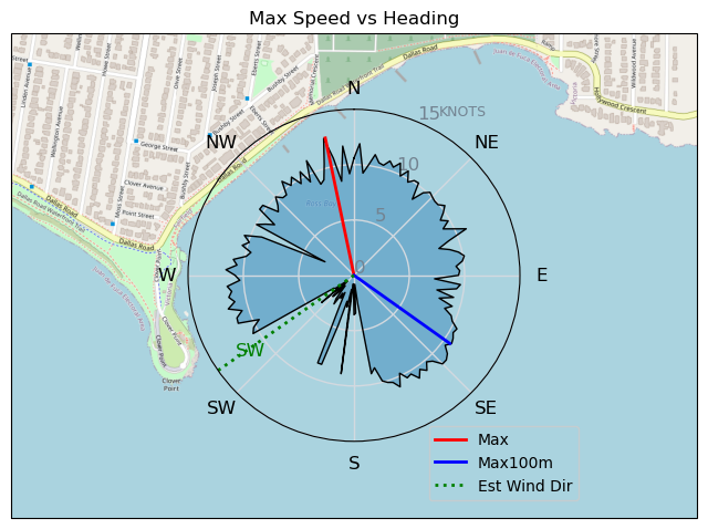
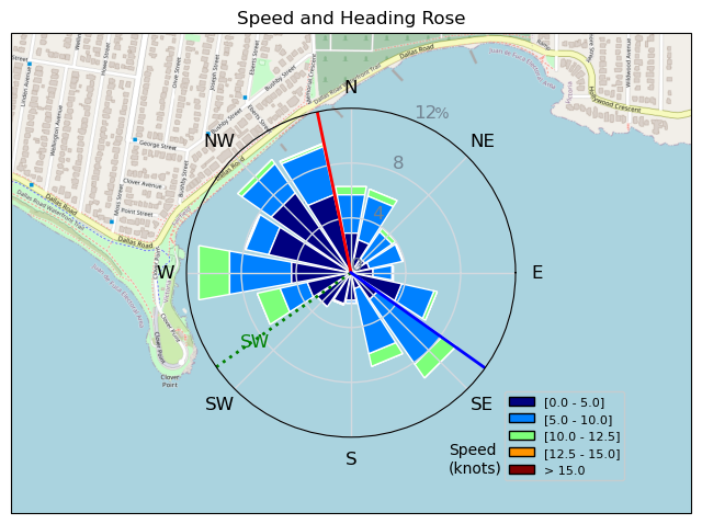
| Avg in motion | 8.0 | 14.8 |
| Max | 12.7 | 23.5 |
| Max 100m | 10.7 | 19.8 |
| Max 250m | 10.2 | 18.9 |
| Max 500m | 10.1 | 18.8 |
| Max 2s | 12.7 | 23.5 |
| Max 10s | 11.1 | 20.6 |
| Max 30min | 7.3 | 13.5 |
| Max Alpha (500/50m) | 9.6 | 17.9 |
| Avg Foiling | 8.8 | 16.3 |
Times and Duration
| Start | Thu Aug 25, 5:33 PM |
| End | Thu Aug 25, 6:38 PM |
| Duration | 01:05:45 |
| In motion | 00:41:40 |
| Paused (< 3 km/h) | 00:23:25 |
| Foiling | 00:33:26 |
| Not Foiling (< 8 km/h) | 00:31:39 |
| Last Calculated | Fri Aug 26, 8:55 AM |
Track Information
| Distance | 10.3 km |
| # Trackpoints | 2114 |
| Avg Trackpoint distance | 4.9 m |
| Number of Turns | 64 |
| Foiling Turns (> 8 km/h) | 29 |
| Foiling Turn Percentage | 45% |


Category: Wingfoiling
2 years ago

Created 2 years ago
UnusuallyLargeRobin |
Please register/login to download this track.
This track was downloaded 0 time(s). |
| 39 Swell beckons |
| 36 Clover week |
| 41 Double rainbowwww |
| 32 aCloverBalmyBombo |
| 28 Maytag day at IV 20241122 |
Please wait while loading suggestions..
Please wait while loading suggestions..
You must login to post comments.