RB light wind and dying swell
bwd - Wingfoiling |
Saturday June 24, 2023 5:47 PM |
| Spot | Ross Bay |
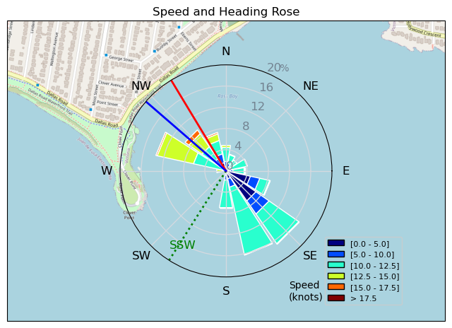
| Conditions | WSW 14-18, Small swell |
| TOW | 1.0 hours |
| Toys | 93.5 Armstrong Performance |
| 60 Armstrong Fuse | |
| 1225 Armstrong MA | |
| 205 Armstrong SURF | |
| 4.5 Cabrinha Mantis V2 | |
| 60L Armstrong FG 4-11 | |
| Details | Got there late. Too much time bug fixing. Fun swell for a bit then it got flat. [from Sailing Log on Saturday June 24, 2023] |
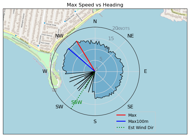
Speed (3s average)
| Speed | knots | km/h |
|---|---|---|
| Avg overall | 9.6 | 17.7 |
| Avg in motion | 10.4 | 19.3 |
| Max | 16.0 | 29.5 |
| Max 100m | 15.6 | 28.9 |
| Max 250m | 15.2 | 28.1 |
| Max 500m | 12.9 | 23.9 |
| Max 2s | 15.8 | 29.3 |
| Max 10s | 15.7 | 29.0 |
| Max Alpha (500/50m) | 12.1 | 22.4 |
| Avg Foiling | 11.1 | 20.6 |
Times and Duration
| Start | Sat Jun 24, 5:47 PM |
| End | Sat Jun 24, 6:49 PM |
| Duration | 01:01:45 |
| In motion | 00:56:39 |
| Paused (< 3 km/h) | 00:04:31 |
| Foiling | 00:49:40 |
| Not Foiling (< 8 km/h) | 00:11:30 |
| Last Calculated | Mon Jun 26, 10:34 AM |
Track Information
| Distance | 18.3 km |
| # Trackpoints | 3697 |
| Avg Trackpoint distance | 4.9 m |
| Number of Turns | 93 |
| Foiling Turns (> 8 km/h) | 76 |
| Foiling Turn Percentage | 82% |


Category: Wingfoiling
one year ago

Created one year ago
bwd |
Please register/login to download this track.
This track was downloaded 0 time(s). |
| 70 241124 Willows |
| 72 WillowsQuickie |
| 64 Willows - Sunday Funday Woops |
| 63 Willows Mixed Bag |
| 53 Surprise Sunday ENE. |
Please wait while loading suggestions..
Please wait while loading suggestions..
You must login to post comments.