Chill Monday
TunaCan - Wingfoiling |
Monday October 28, 2024 3:32 PM |
| Spot | Ross Bay |
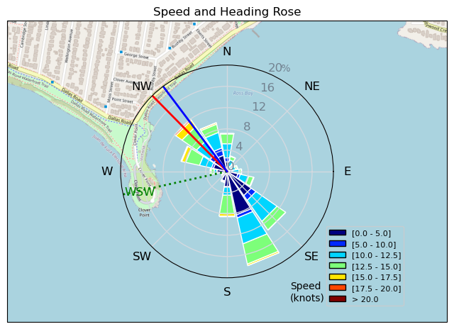
| Conditions | W 5-15, odd knee high |
| TOW | 1.0 hours |
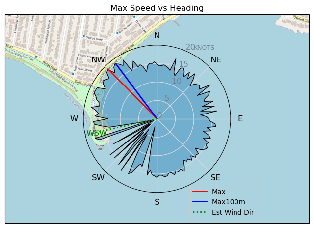
| Details | Unexpected session. Saw some trees moving, checked webcam and saw URL ripping around. By the time I got there it had dropped, Tweezer was making his way across the street and out to the point. He sailed off the beach nicely - me not so much. Floated out on my knees to mid bay and waited about 15 mins for a puff to get me up on foil and up to the point. Light wind session with it varying down to 5kts and topping out at 15kts at best. Turned into a cruisey enjoyable session with some of the RBFC godfathers Bobson, URL, Tweezer, Ruppdog and Grant. [from Session Log on Monday October 28, 2024] |
Speed (3s average)
| Speed | knots | km/h |
|---|---|---|
| Avg overall | 8.2 | 15.1 |
| Avg in motion | 10.3 | 19.0 |
| Max | 18.9 | 35.0 |
| Max 100m | 17.8 | 33.0 |
| Max 250m | 15.1 | 28.0 |
| Max 500m | 14.5 | 26.8 |
| Max 2s | 18.8 | 34.9 |
| Max 10s | 18.0 | 33.4 |
| Max Alpha (500/50m) | 13.7 | 25.4 |
| Avg Foiling | 12.1 | 22.4 |
Times and Duration
| Start | Mon Oct 28, 3:32 PM |
| End | Mon Oct 28, 4:42 PM |
| Duration | 01:09:42 |
| In motion | 00:55:25 |
| Paused (< 3 km/h) | 00:14:02 |
| Foiling | 00:43:16 |
| Not Foiling (< 8 km/h) | 00:26:11 |
| Longest Foiling Segment | 00:20:05 (7.5 km) |
| Last Calculated | Mon Oct 28, 8:05 PM |
Track Information
| Distance | 17.5 km |
| # Trackpoints | 4111 |
| Avg Trackpoint distance | 4.3 m |
| Number of Turns | 90 |
| Foiling Turns (> 8 km/h) | 76 |
| Foiling Turn Percentage | 84% |


Category: Wingfoiling
4 weeks ago

Created 4 weeks ago
TunaCan |
Please register/login to download this track.
This track was downloaded 0 time(s). |
| 18 241120 Willows |
| 21 Willows Bomb Session |
| 26 Shoot the Entrance |
| 22 CloverPartDeux |
| 11 Come back soon Bombo |
Please wait while loading suggestions..
Please wait while loading suggestions..
You must login to post comments.