Opening Clover
TunaCan - Wingfoiling |
Wednesday October 30, 2024 9:40 AM |
| Spot | Clover Pt |
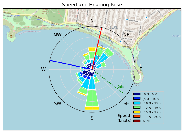
| Conditions | SE 15-30, Large Seas |
| TOW | 1.5 hours |
| Details | Still battling a cold, but pushed through with the excitement of a big Clover opening day. Showed up to steady 30kts and some kiters ripping. Winddoc, Tweezer, Grantmac, BWD and Paul, getting ready to head out to large seas. As I got down to the water I realized I forgot my leash - Duh this isnt RB. Difficult and large conditions, but still fun and great to get some large swell rides. Christened my 3.5 with a little wound on one of my many falls. Exhausting but fun, looking forward to more. Also the car next to me (not a foiler) must have opened their door into the wind and it dinged my truck door. Things happen in 3s i guess. [from Session Log on Wednesday October 30, 2024] |
Speed (3s average)
| Speed | knots | km/h |
|---|---|---|
| Avg overall | 8.5 | 15.8 |
| Avg in motion | 10.1 | 18.7 |
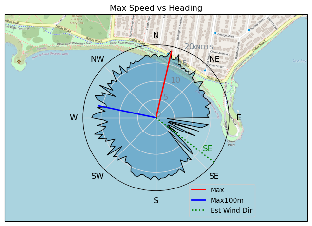
| Max | 18.7 | 34.7 |
| Max 100m | 16.6 | 30.7 |
| Max 250m | 15.3 | 28.3 |
| Max 500m | 14.5 | 26.9 |
| Max 2s | 18.6 | 34.4 |
| Max 10s | 16.6 | 30.8 |
| Max Alpha (500/50m) | 14.5 | 26.8 |
| Avg Foiling | 12.1 | 22.4 |
Times and Duration
| Start | Wed Oct 30, 9:40 AM |
| End | Wed Oct 30, 11:25 AM |
| Duration | 01:45:57 |
| In motion | 01:29:36 |
| Paused (< 3 km/h) | 00:15:44 |
| Foiling | 01:08:27 |
| Not Foiling (< 8 km/h) | 00:36:53 |
| Longest Foiling Segment | 00:09:45 (3.8 km) |
| Last Calculated | Wed Oct 30, 8:48 PM |
Track Information
| Distance | 27.9 km |
| # Trackpoints | 6018 |
| Avg Trackpoint distance | 4.6 m |
| Number of Turns | 123 |
| Foiling Turns (> 8 km/h) | 86 |
| Foiling Turn Percentage | 70% |


Category: Wingfoiling
4 weeks ago

Created 4 weeks ago
TunaCan |
Please register/login to download this track.
This track was downloaded 0 time(s). |
Please wait while loading suggestions..
Please wait while loading suggestions..
You must login to post comments.