Sunday Drive
TunaCan - Wingfoiling |
Sunday November 17, 2024 3:32 PM |
| Spot | Ross Bay |
| Conditions | WNW 1-14, knee high |
| TOW | 1.0 hours |
| Details | Pretty light on arrival, most coming in. Chatted on the goat hill for about 30 mins and felt a few gusts come through. Put the MA1225 back on, and gave it a go. Found a puff half way out and it was pretty cruisy from there. Love the 1225 foil, if I can get to my feet on the 58L board its very likely I get get on foil with some aggressive pumping. Gorgeous evening on the water with RupDog chasing gusts down. I didnt want to get stranded far out with the darkness looming so stayed close to shore and practiced some light wind sailing. No gloves - maybe the last session?? [from Session Log on Tuesday November 19, 2024] |
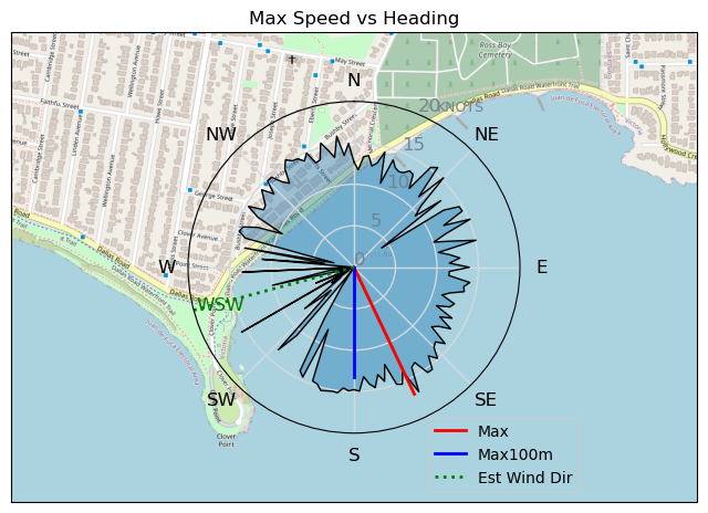
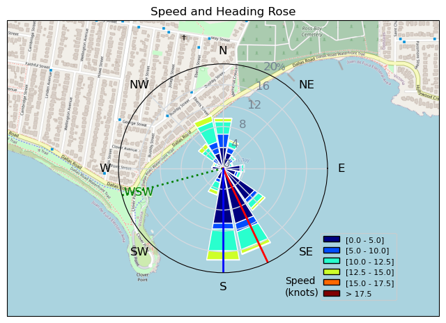
Speed (3s average)
| Speed | knots | km/h |
|---|---|---|
| Avg overall | 6.2 | 11.5 |
| Avg in motion | 10.8 | 19.9 |
| Max | 16.9 | 31.4 |
| Max 100m | 13.6 | 25.3 |
| Max 250m | 12.9 | 24.0 |
| Max 500m | 12.4 | 22.9 |
| Max 2s | 16.2 | 29.9 |
| Max 10s | 14.1 | 26.1 |
| Max Alpha (500/50m) | 11.7 | 21.6 |
| Avg Foiling | 12.8 | 23.8 |
Times and Duration
| Start | Sun Nov 17, 3:32 PM |
| End | Sun Nov 17, 4:39 PM |
| Duration | 01:06:04 |
| In motion | 00:38:07 |
| Paused (< 3 km/h) | 00:22:02 |
| Foiling | 00:28:18 |
| Not Foiling (< 8 km/h) | 00:31:51 |
| Longest Foiling Segment | 00:04:07 (1.6 km) |
| Last Calculated | Tue Nov 19, 10:12 AM |
Track Information
| Distance | 12.7 km |
| # Trackpoints | 3757 |
| Avg Trackpoint distance | 3.4 m |
| Number of Turns | 50 |
| Foiling Turns (> 8 km/h) | 35 |
| Foiling Turn Percentage | 70% |


Category: Wingfoiling
Yesterday

Created Yesterday
TunaCan |
Please register/login to download this track.
This track was downloaded 0 time(s). |
| 13 241120 Willows |
| 15 Willows Bomb Session |
| 21 Shoot the Entrance |
| 18 CloverPartDeux |
| 9 Come back soon Bombo |
Please wait while loading suggestions..
Please wait while loading suggestions..
You must login to post comments.