Pt.Holmes 05/01
mayday - Wingfoiling |
Wednesday May 01, 2024 11:18 AM |
| Spot | Comox Spit |
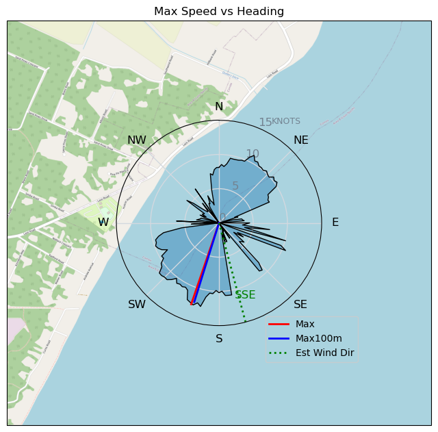
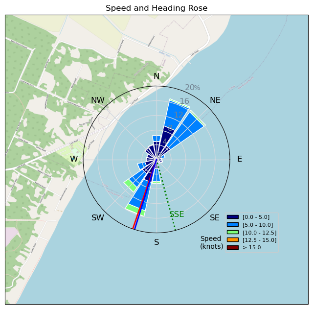
| Conditions | SE 10-12, chop |
| TOW | 1.0 hours |
| Toys | 1880 reedin flight attendant |
| 6m duotone slick | |
| 115 quattro drifter | |
| Details | Well, 2 for 2 for off the charts frustration factor - this time the wind was there, but so was patch after patch of thick seaweed. Not the sargassum that drops you off foil, but the loose lettuce that created enough drag to make you continually have to either pump hard, or head downwind to keep the speed up. Hence was hard to go upwind, so no long rides. Wind looks like it might stick around for a bit, so hopefully another try this afternoon when the salad is pushed onshore. [from Session Log on Wednesday May 01, 2024] |
Speed (3s average)
| Speed | knots | km/h |
|---|---|---|
| Avg overall | 4.9 | 9.1 |
| Avg in motion | 6.4 | 11.8 |
| Max | 12.6 | 23.3 |
| Max 100m | 11.7 | 21.6 |
| Max 250m | 10.9 | 20.2 |
| Max 500m | 10.0 | 18.5 |
| Max 2s | 12.6 | 23.3 |
| Max 10s | 12.1 | 22.4 |
| Max Alpha (500/50m) | 7.9 | 14.7 |
| Avg Foiling | 8.5 | 15.7 |
Times and Duration
| Start | Wed May 01, 11:18 AM |
| End | Wed May 01, 12:25 PM |
| Duration | 01:07:05 |
| In motion | 00:51:48 |
| Paused (< 3 km/h) | 00:14:35 |
| Foiling | 00:30:26 |
| Not Foiling (< 8 km/h) | 00:35:57 |
| Longest Foiling Segment | 00:04:48 (1.3 km) |
| Last Calculated | Wed May 01, 1:00 PM |
Track Information
| Distance | 10.2 km |
| # Trackpoints | 4016 |
| Avg Trackpoint distance | 2.5 m |
| Number of Turns | 27 |
| Foiling Turns (> 8 km/h) | 2 |
| Foiling Turn Percentage | 7% |


Category: Wingfoiling
2 weeks ago

Created 2 weeks ago
mayday |
Please register/login to download this track.
This track was downloaded 0 time(s). |
| 26 Chasing circles |
| 25 20240514 |
| 26 Swelly Burn |
| 32 RB with waves and kelpy bits |
| 29 DOG - Day 2 on DW board - Ross Bay - May 13 |
Please wait while loading suggestions..
Please wait while loading suggestions..
You must login to post comments.