RIP Mapquest
-
more force 4

- Sponsor

- Posts: 1453
- Joined: Wed Oct 15, 2003 8:57 am
- Location: Victoria, BC
- Has thanked: 21 times
- Been thanked: 4 times
- Contact:

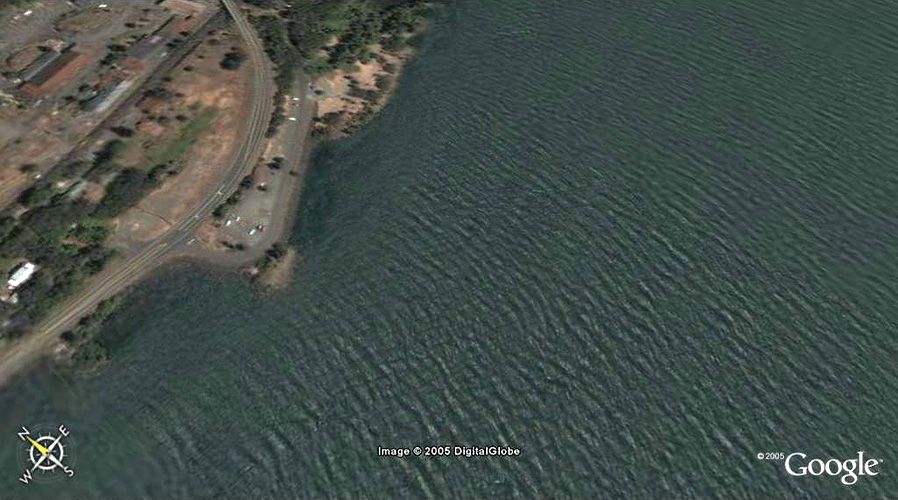
I included a higher res shot for Salmon Arm on Shuswap Lake. . About the same resolution as Dawson Creek, this is from a little higher up. Unreal how good this is. Now as soon as they include 1m LIDAR data for their DEM (the 3-Dimensional quality) it will be almost exactly like being there!
Dale: therre are some view preferences under tools, options. THe 'detail area' might make some difference, but not if you were centred on what you wanted to see.
Try changing the 'elevation exaggeration' if you want to see smaller hills a little more clearly - I have mine set to 1.3, if you set to 3 it makes hills nice but mountains look preposterous - science fiction stuff. Another hint - F11 key fills the whole screen - you can still control zoom with the right mouse button, pan with the left and with a wheel you can hold it down and scroll for tilt and rotate - took me a while to find that one.
. About the same resolution as Dawson Creek, this is from a little higher up. Unreal how good this is. Now as soon as they include 1m LIDAR data for their DEM (the 3-Dimensional quality) it will be almost exactly like being there!Dale: therre are some view preferences under tools, options. THe 'detail area' might make some difference, but not if you were centred on what you wanted to see.
Try changing the 'elevation exaggeration' if you want to see smaller hills a little more clearly - I have mine set to 1.3, if you set to 3 it makes hills nice but mountains look preposterous - science fiction stuff. Another hint - F11 key fills the whole screen - you can still control zoom with the right mouse button, pan with the left and with a wheel you can hold it down and scroll for tilt and rotate - took me a while to find that one.
-
downwind dave

- Posts: 1468
- Joined: Thu Apr 29, 2004 9:05 am
- Location: cobblehill
- Contact:
-
~ pimp hand ~

- Posts: 277
- Joined: Fri May 21, 2004 2:19 pm


-
downwind dave
- Posts: 1468
- Joined: Thu Apr 29, 2004 9:05 am
- Location: cobblehill
- Contact: